Flood modelling update
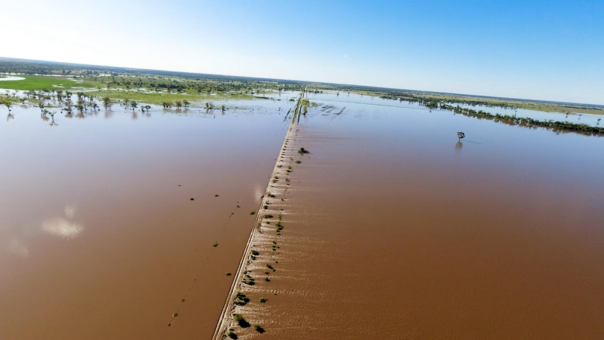
Major rainfall events during the last month have given us the opportunity to gather more detailed information as well as ‘road test’ the extensive hydrological models we’ve developed for the North Star to NSW/Queensland Border and Border to Gowrie projects.
December 22, 2021
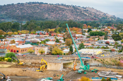
Inland Rail Acting Chief Executive, Rebecca Pickering said the Australian Rail Track Corporation (ARTC) is gathering additional data to feed into the extensive flood modelling that has been undertaken to date on the Inland Rail sections that traverse Queensland’s floodplains.
“During this flood event we’ve taken aerial footage of the Condamine and Macintyre floodplains which will be provided to our expert hydrology teams as well as local councils,” Mrs Pickering said.
“We have the utmost confidence in our flood modelling which has been reviewed by the Independent International Panel of Experts for Flood Studies to provide assurance to the public that the models meet national guidelines and state engineering requirements.
“This latest flood event will provide further information to map our data alongside a major flood as it happens.
“We have incorporated local knowledge into our models and we will continue to work collaboratively with communities by sharing our modelling work with them.
“Highly accurate flood data helps local governments make appropriate planning decisions in areas exposed to extreme weather events and we are happy to share our information with them to give them more certainty in the decisions they need to make.
“Our models have closely matched the conditions at Yelarbon, Boggabilla and Goondiwindi which will give the community added confidence in our modelling for the Inland Rail project.”