Narromine to Narrabri site investigations update
Inland Rail contractors will be in the Narromine to Narrabri project area in the coming months, collecting information to inform project planning.
February 14, 2025
These investigations have been prioritised for completion over the next two years to enable us to better understand construction scope, cost and schedule of the Narromine to Narrabri section of Inland Rail.
Here’s a summary of what’s happening when and where over the coming months:
What: Geotechnical investigations in the rail corridor.
Where: Around Narromine and Gilgandra.
When: Resuming in June.
Why: To better understand ground conditions in locations where Inland Rail will be built.
What: Utilities investigations.
Where: Around Narromine and Gilgandra.
When: April to June.
Why: To confirm the location of underground services and overhead cables and determine if the utility will need to be lowered, protected, removed or relocated.
What: Biodiversity surveys.
Where: Narromine to Narrabri.
When: Starting in late April.
Why: To assess particular flora and fauna species of interest along the rail corridor. Surveys will take place during the day and at night, using spotlights to identify nocturnal animals.
What: Geotechnical investigations at potential borrow pits sites.
Where: Gilgandra (South) and between Baradine and Narrabri (North).
When: Concluding mid-April.
Why: To test ground conditions and determine suitability for the provision of earth materials that will be used in Inland Rail structures like embankments.
What: Flood level and detailed survey.
Where: Around Narromine and Gilgandra.
When: April and May.
Why: To complete our understanding of the natural and built environment along the Inland Rail corridor so we can further refine engineering designs.
What: Cadastral surveys of land parcels directly intersecting the Inland Rail alignment.
Where: Between Narromine and Narrabri.
When: Ongoing.
Why: To capture comprehensive measurements of land parcel and lot boundaries. This work will support acquisition conversations with directly impacted landowners.
We want to hear from you!
With so much going on we want to ensure that the community is always kept informed and understands our work.
Our Stakeholder Engagement team is always happy to answer any questions or provide further detail on the schedule. Please do not hesitate to call or email us with any query.
To the landowners affected by our work, we are looking forward to collaborating with you closely. We have designed an Individual Property Management Plan to facilitate our engagement with you, ensuring we manage your needs and our requirements thoughtfully and transparently.
Call us on 1800 732 761.
Or email inlandrailnsw@inlandrail.com.au.
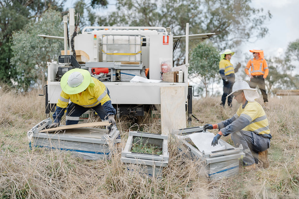
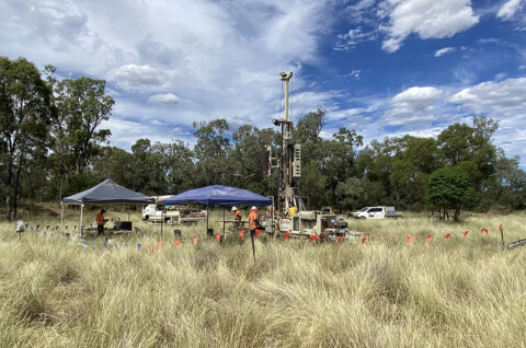
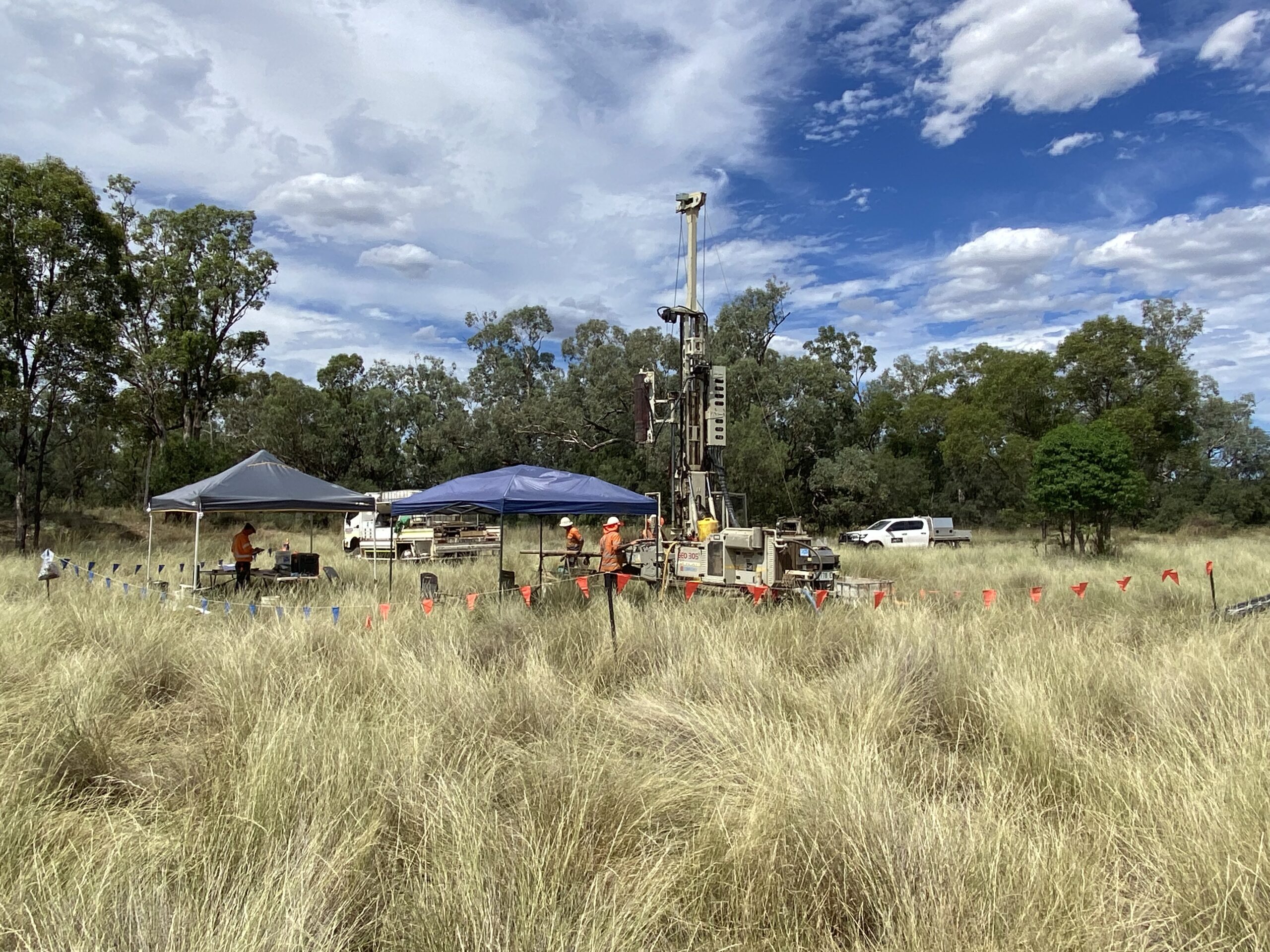
Images: A geotechnical investigations site with a drill rig for drilling boreholes (top); Workers packing up soil erosion test samples (bottom).