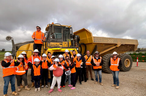
Progress
The Illabo to Stockinbingal section involves constructing 39km of new rail track in the Junee and Cootamundra regions of New South Wales.
This new section of rail corridor will provide a direct route from Illabo to Stockinbingal through the existing Forbes line. This will bypass Cootamundra and the steep and winding Bethungra Range with its Bethungra Spiral.
John Holland is our construction partner for the Illabo to Stockinbingal section.
Explore a 360-degree view progress map
Explore the progress of the Illabo to Stockinbingal section of Inland Rail via an interactive map, below. You can virtually visit sites along the alignment, as displayed on the map, and use the 360-degree images to view the landscape.
How to use this map:
- Click on the play button to activate the map.
- Click the [] full screen icon (in the top right corner of the map) for the best viewing experience.
- Hover over, or click/tap one of the locations marked on the map with a coloured circle (O).
- Rotate the image to explore a 360-degree view of that site.
- To advance to the next site, click/tap the orange 360 markers (360).
Mobile device users: This map can also be viewed via VR devices or through motion/orientation features, by viewing ‘full screen’ ([] icon at the top right of the screen) and selecting either the compass or glasses icon (at the top right of the screen).
Watch a fly-through of the project
Get a birds-eye view of the Illabo to Stockinbingal project, as of June 2026. The fly-through is for illustration purposes and for discussion during community consultations and subject to change.
Stockinbingal 3D fly-through
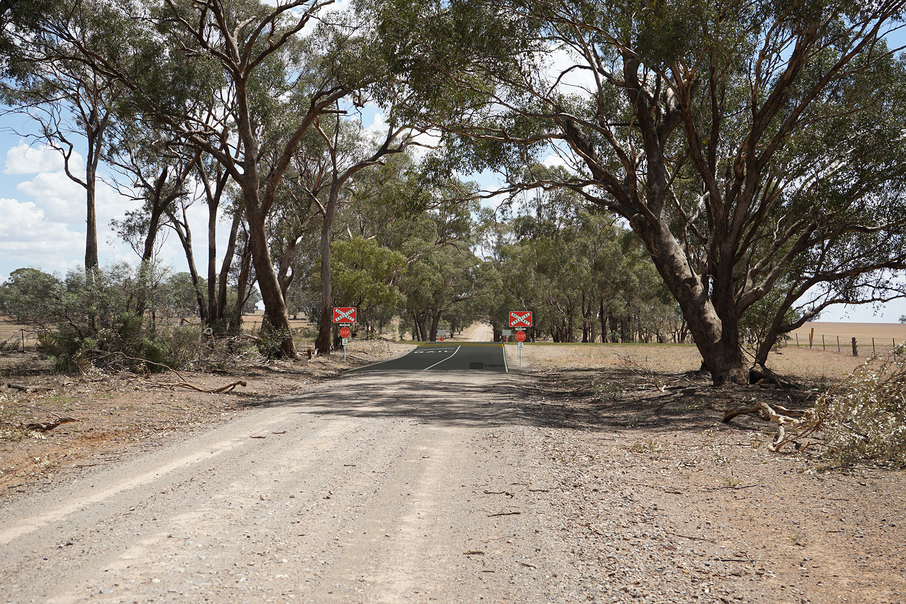
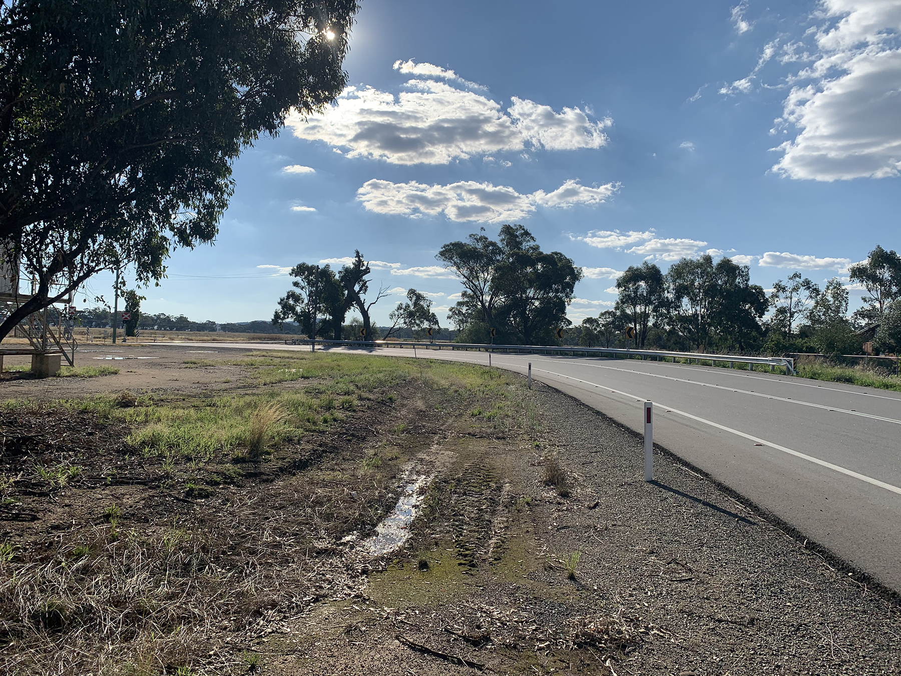
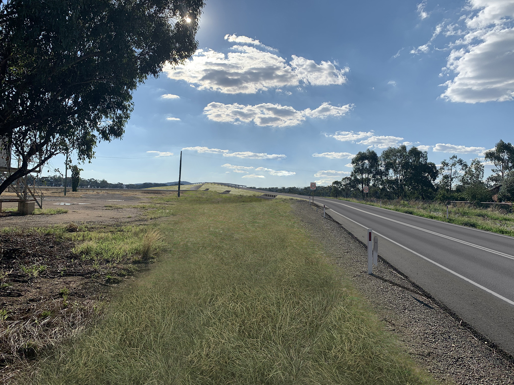
In the Stockinbingal area, we’re building new road and rail infrastructure to make double-stacked freight transport more efficient. This includes a new level crossing, bridges, culverts, and a grade separation and road realignment on Burley Griffin Way, in Stockinbingal.
This will deliver safer road/rail interfaces, improve infrastructure reliability and strengthen regional connectivity for the future.
Visualisations
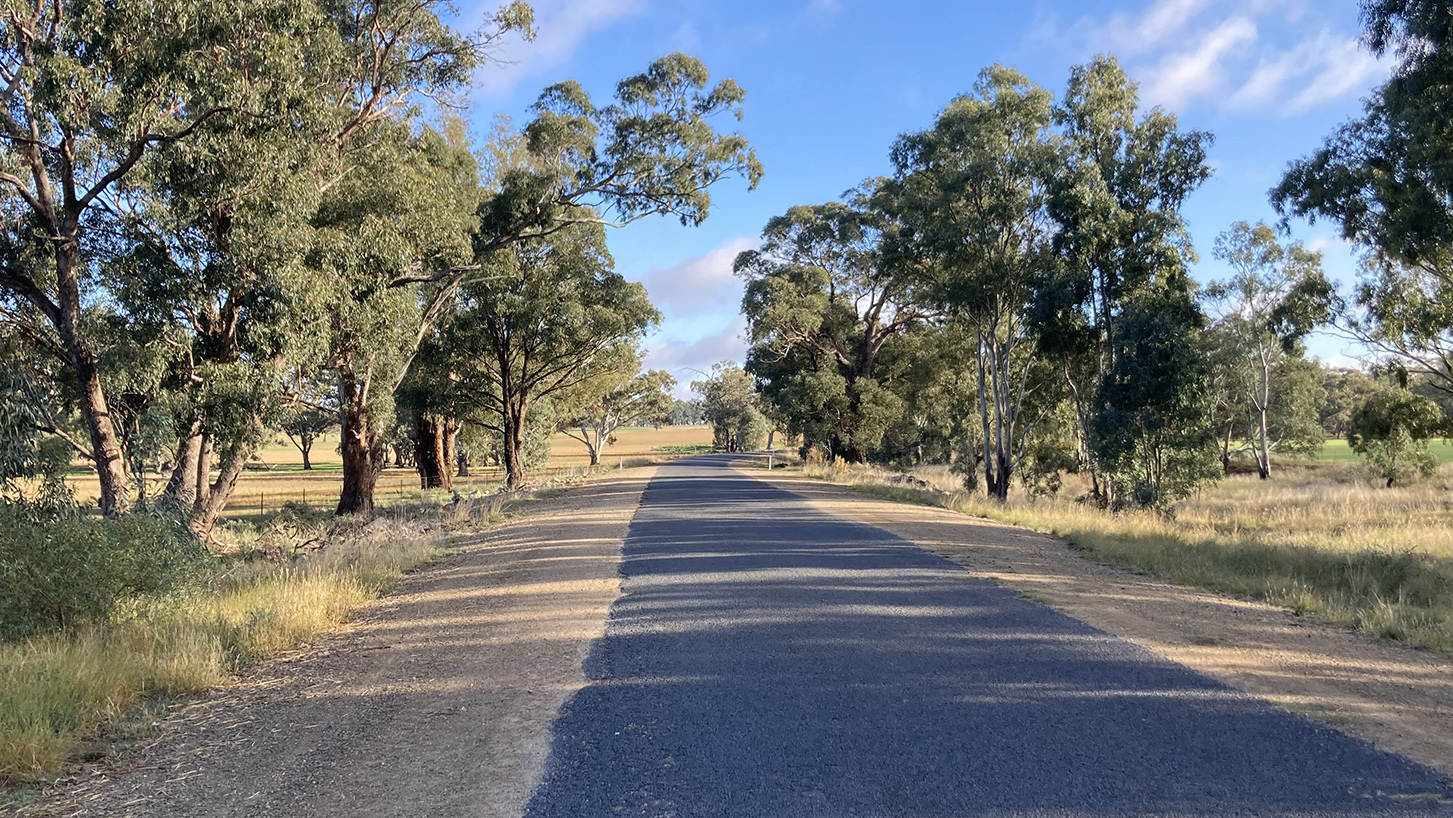
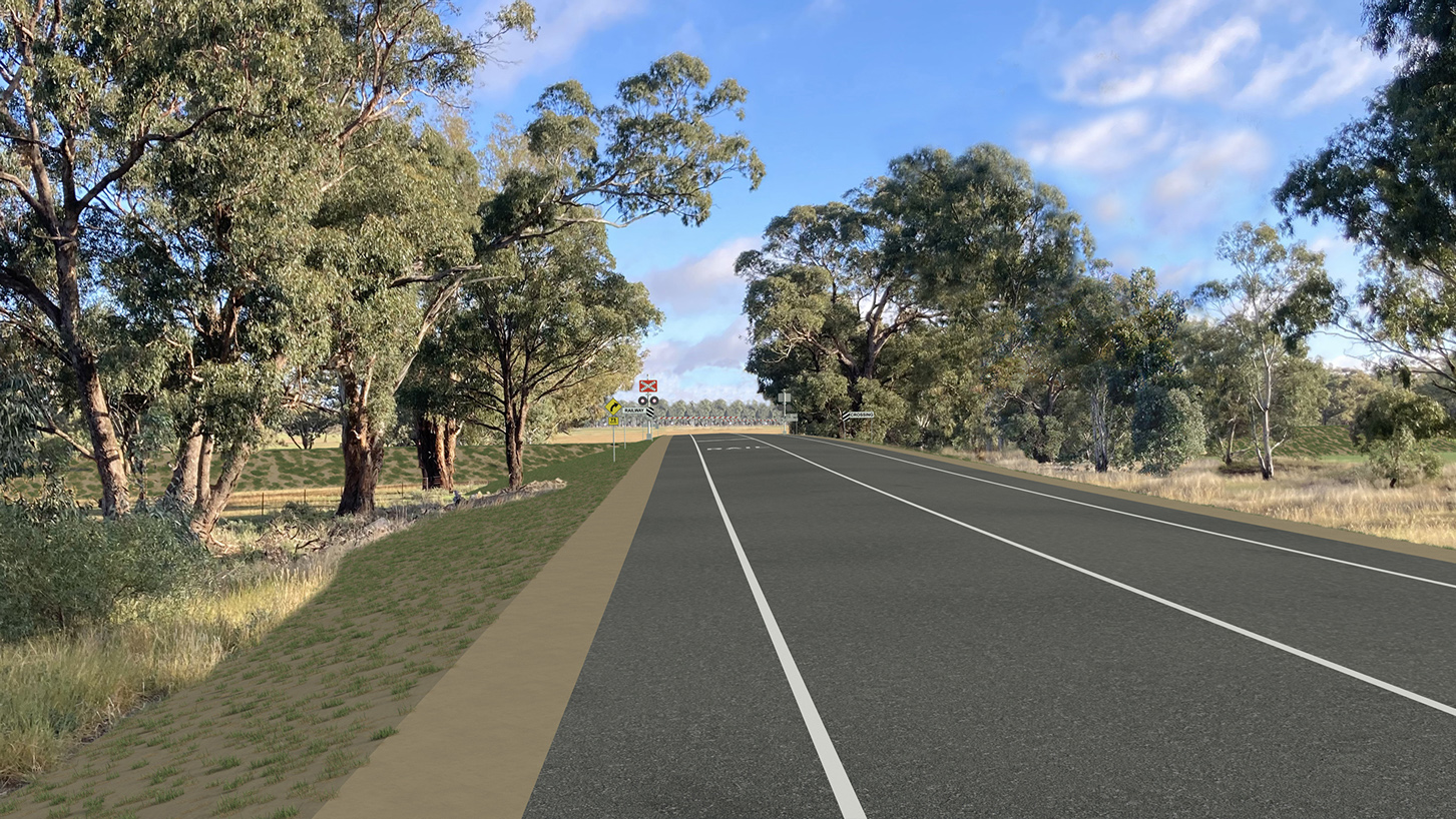
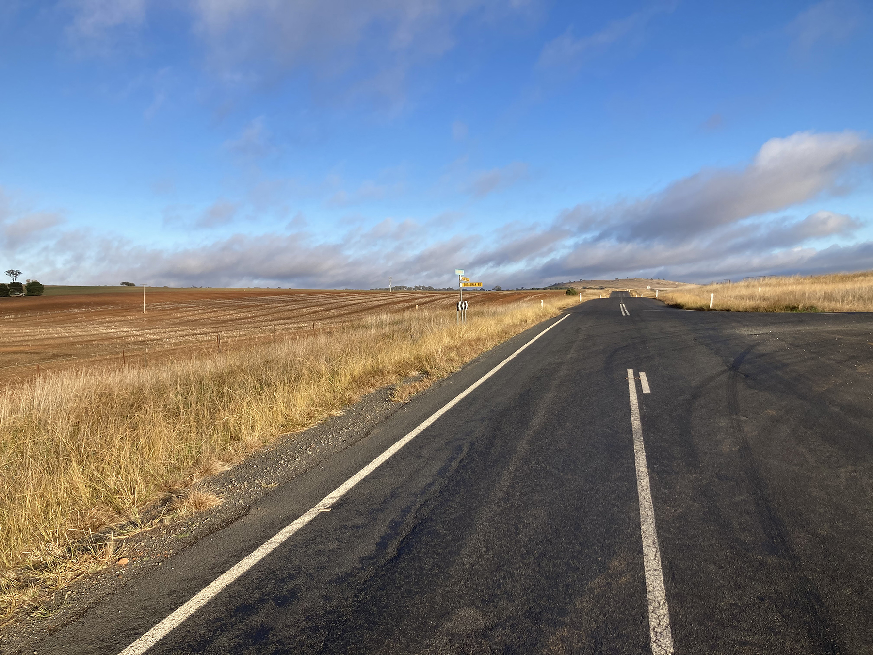
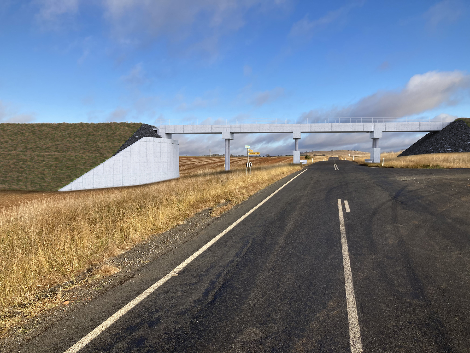
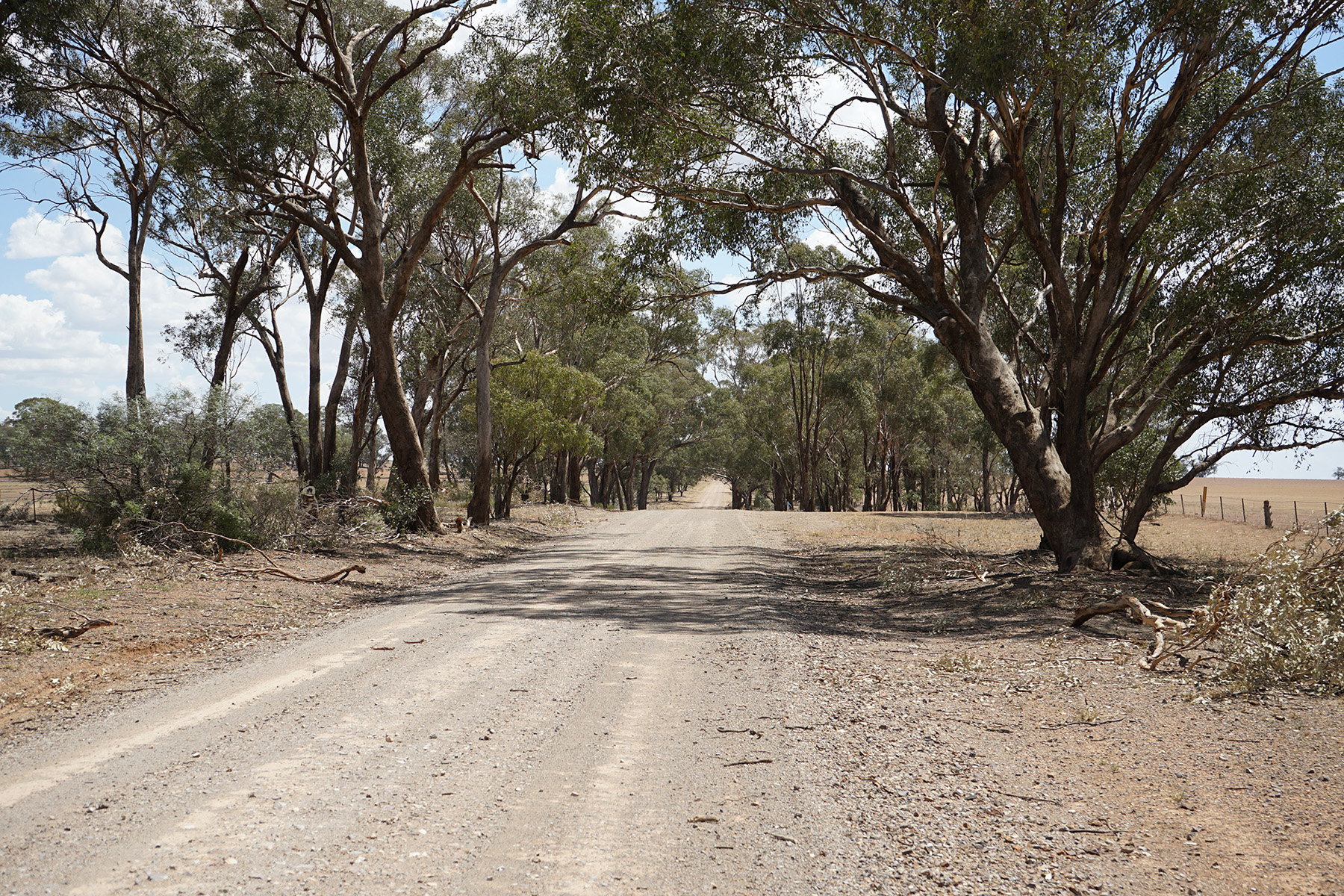
To get a sense of what your community will look like after the project has been completed, check out our visualisations of the design.
Visualisations are for illustrative purposes and not to scale.
Old Cootamundra Road
Old Sydney Road
Burley Griffin Way
Dirnaseer Road
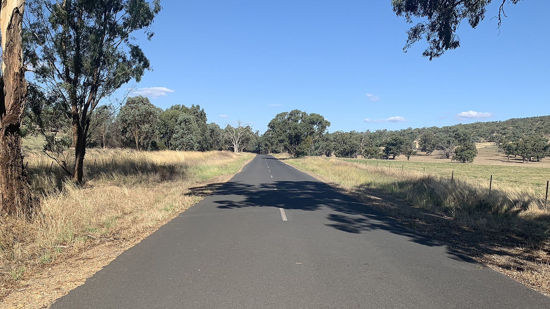
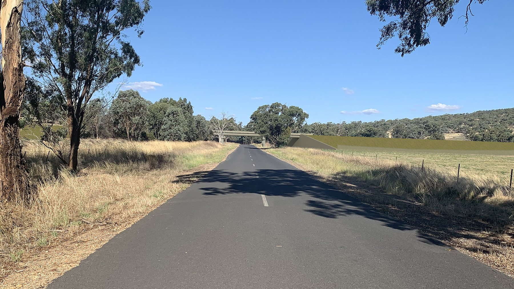
Ironbong Road