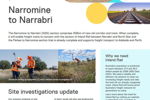
Works and planning
The final proposed rail alignment for the Narromine to Narrabri section builds on 15 years of engineering and environmental investigations by some of Australia’s most trusted consultants, robust community engagement and constant design refinements.
With primary regulatory approvals now in place, Inland Rail will commence preparation of the environmental and social management plans, permits and licenses, which are required before any major construction can start.
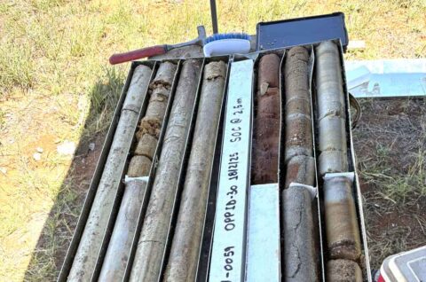
Low impact pre-construction activities, approved by the New South Wales Government in 2023 will continue in 2024. These include service utility relocations and site investigations, such as geotechnical surveys, to better understand ground conditions.
We will also continue acquiring land needed for the Inland Rail corridor and refining the construction scope and detailed design to provide greater certainty on N2N project’s cost and schedule.
Once we have completed this work and can demonstrate a robust cost estimate to the Australian Government, we will seek agreement to release construction packages for tender to the market.
Building Inland Rail’s longest stretch of new rail corridor will involve millions of cubic meters of earthworks for new embankments, the installation of thousands of culverts, road realignments and utility relocations. The current design features 12 active and 51 passive level crossings, 75 new bridges and viaducts and seven crossing loops, each up to 2.2km long.
View the final route and leave your feedback on our interactive map.
Bridge over Wee Waa Road and Narrabri viaduct 3D fly-through
The northern section of the Narromine to Narrabri alignment will run west of Narrabri township. The section around Narrabri will be constructed on a 4km long concrete viaduct and will cross The Island Road, Narrabri Creek, Naomi River and Wee Waa Road before joining the Turrawan Line north of Narrabri.
This animated visualisation begins with a driver’s perspective, travelling west along Wee Waa Road (also known as the Kamilaroi Highway) and under the viaduct, before taking flight and showing the section around Narrabri from the air.
This visualisation is an indicative representation and is for illustration purposes only. It should not be considered the final design, which will be subject to change due to detailed design refinements.
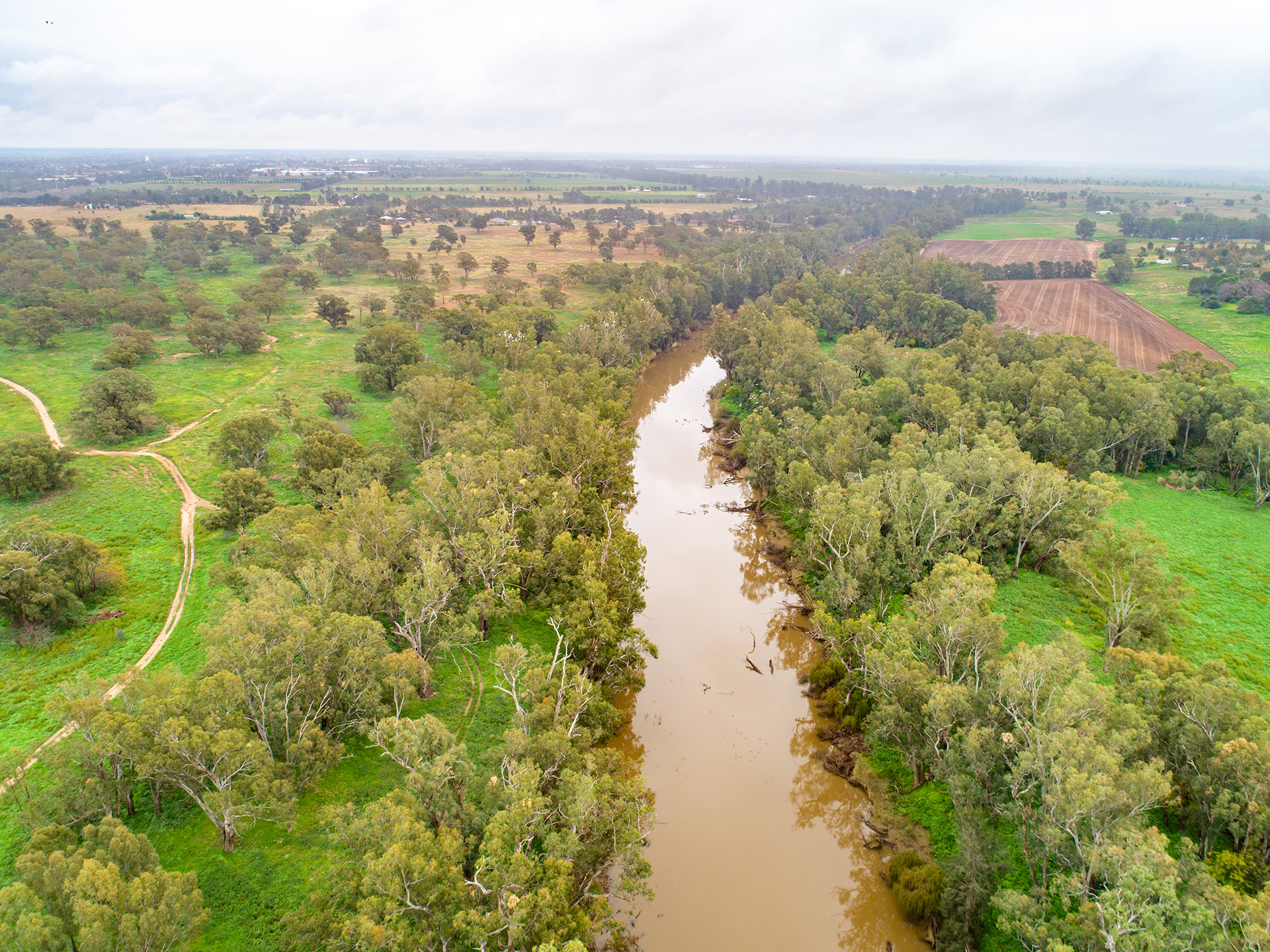
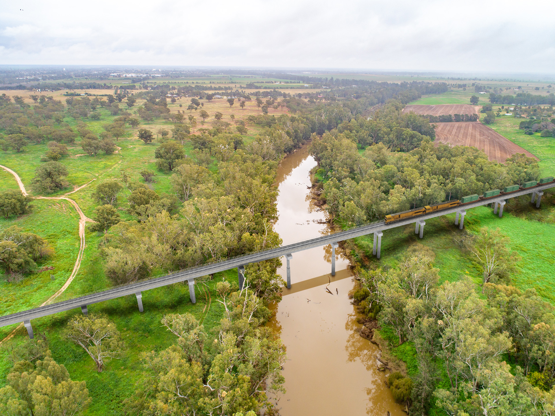
Visualisations
Check out some visualisations of the Narromine to Narrabri alignment.
These images are illustrative and not to scale. They are based on the reference design and may change as a result of further investigations, government approvals or during the detailed design stage of the project.
Macquarie River, Narromine
View looking west.
Bridge over the Walgett Line, Narrabri
Looking east towards Narrabri township.


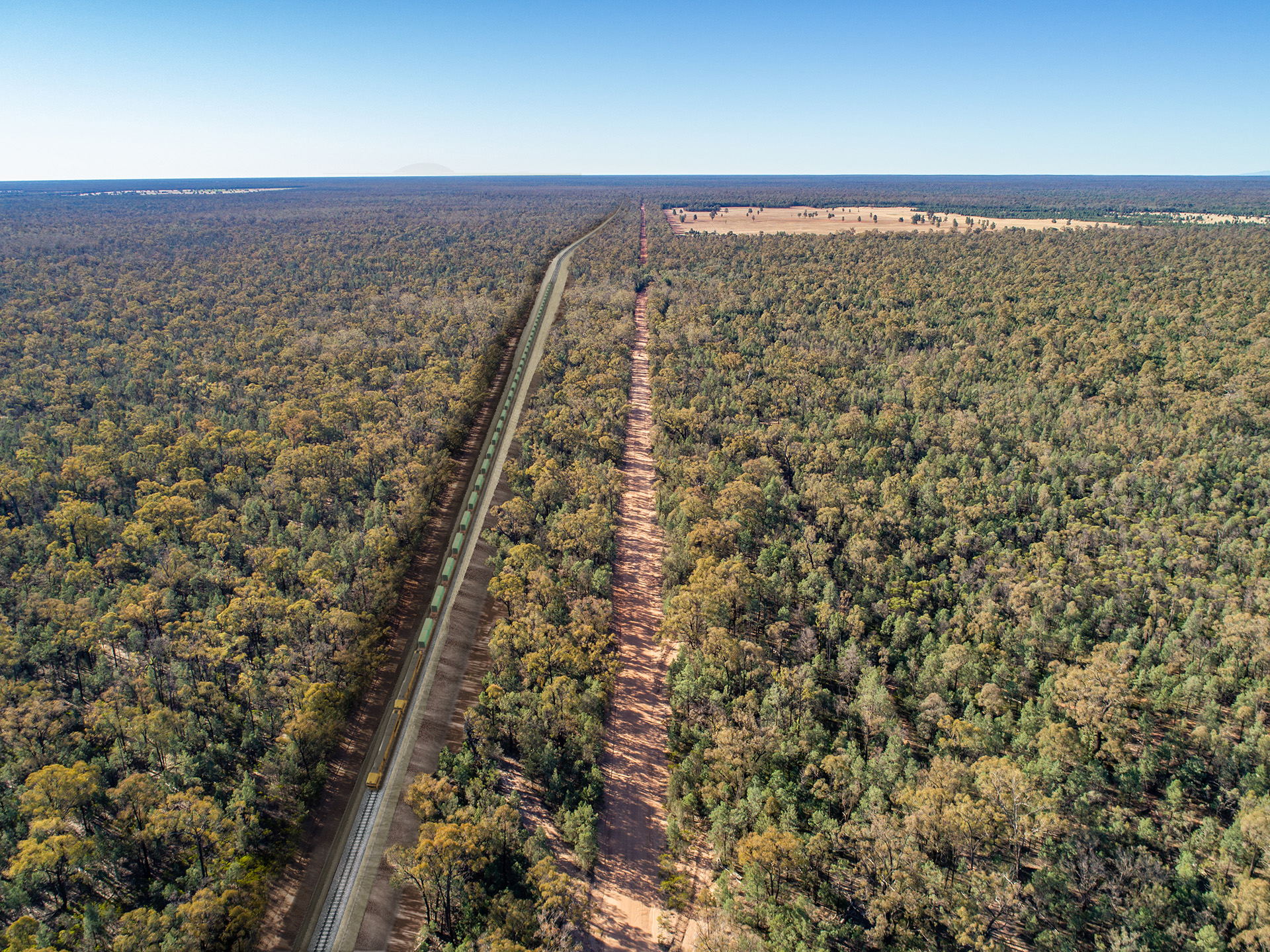
Pilliga Forest, Baradine
View looking north over the forest and Cumbil Road.

Seven Mile Rd – Gulargambone
Level Crossing over Seven Mile Rd at Gulargambone.


Project fly-throughs
Get a bird’s-eye view of part of the Narromine to Narrabri section of Inland Rail.
The four Narromine to Narrabri fly-through videos include the proposed rail alignment, bridges, cuttings and embankments, and public crossings.
Please note that the reference design may change as a result of further investigations, government approvals, or during the detailed design phase.
Details on fencing, maintenance access roads or potential changes to level crossings are not included in the fly-through videos.
Narromine to Narrabri fly-through #1
Narwonah Siding Road, Narromine to Bardens Road,
Curban
Narromine to Narrabri fly-through #2
Bardens Road, Curban to Manai Road,
Baradine
Narromine to Narrabri fly-through #3
Manai Road, Baradine to Dog Proof Fence Road,
The Pilliga
Narromine to Narrabri fly-through #4
Dog Proof Fence Road, The Pilliga to Newell Highway,
Narrabri

Narromine to Narrabri Options Report
This Options Report summarises the process, inputs and decisions made by the Australian Rail Track Corporation (ARTC) to assess alternative options and identify the Study Area for the Melbourne to Brisbane Inland Rail (Inland Rail) between Narromine and Narrabri.