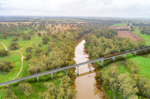
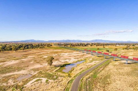
Narromine to Narrabri: Managing flooding impacts
Inland Rail crosses many watercourses and floodplains between Narromine and Narrabri. Managing water flows and reducing flooding impacts is a priority as we refine our engineering designs. To achieve this, we follow three steps during project development and design refinement.
December 18, 2025
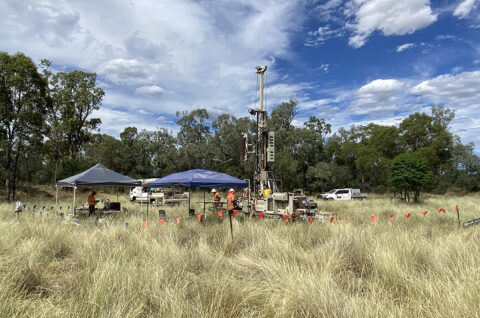
1. Working with hydrology experts and government agencies

We partner with national and state government agencies and subject matter experts to conduct hydrological and geomorphological assessments. These follow national guidelines and industry best practice.
During the Narromine to Narrabri section’s planning phase, we worked with engineering specialists Jacobs and GHD Joint Venture (JV) to develop our hydraulic model. This year, we’ve engaged WSP and Mott MacDonald JV to update our hydrology approach and help progress engineering designs for Narromine to Narrabri’s southern segments.
The NSW Department of Planning, Housing and Infrastructure assesses and approves our approach. They set strict conditions, including limits on the impacts of new infrastructure and what we must do if we can’t find design solutions to address them.
2. Collaborating with the community
We consult with landowners and local councils to include local knowledge and experience in our planning and engineering development. We’ll be sharing our modelling and initial design solutions and will keep consulting with the community as our design progresses, especially with impacted landowners.
Our goal is to use design solutions to reduce potential flooding impacts. If refinements can’t remove impacts, we work with landowners to find other mitigation measures. As part of the Environmental Impact Statement, we also considered nearby planned and current infrastructure projects to test their combined impacts.

3. Using the latest data and science
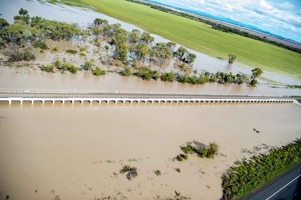
After major floods, we check our model against real-world impacts. We keep refining and calibrating our model as new data becomes available and before final engineering designs are developed.
A key input into our flood modelling is the Australian Rainfall and Runoff (ARR) Guideline. It gives us reliable tools and data to estimate how floods might behave in different parts of Australia. The latest version of the ARR includes new advice and updates based on the latest research and adjusts rainfall predictions to better account for future weather patterns.
This three-phase approach lets us confidently model flood scenarios before construction begins. We overlay our hydraulic model with engineering designs to spot any changes to flooding caused by the new infrastructure.
We keep refining the design to reduce or remove impacts wherever possible, for example by adding culverts or extending bridges. And we don’t stop there – we monitor conditions for up to 15 years after construction.