We acknowledge flooding and geomorphology are key areas of interest for communities along Inland Rail’s NSW/Qld Border to Gowrie section.
We’ve undertaken extensive flood modelling along the proposed alignment in consultation with landowners and technical experts. We are committed to ensuring the design, construction, and operation of this section of Inland Rail does not adversely affect flood behaviour or the surrounding environment.
Our approach to flood impact modelling
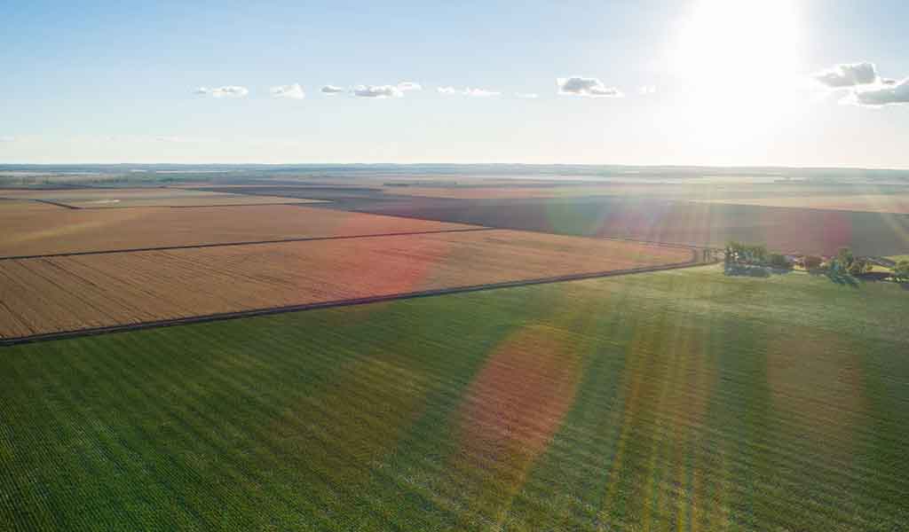
The NSW/Qld Border to Gowrie section crosses several watercourses and floodplains. We have completed detailed hydrological and geomorphological assessments of these areas which align with national guidelines and industry best practice.
Since 2016, we have used evidence from landowners, including photographs of historic flood events and recent flood event modelling data from councils and government agencies to inform our flood impact modelling. This supports our aim to minimise the impact that construction and operations may have on flood behaviour, affecting impacted landowners and nearby communities.
Our flood models have been peer reviewed and updated based on feedback. These models have also been confirmed as fit-for-purpose by the Independent International Panel of Experts for Flood Studies (the Expert Flood Panel), an independent panel established by the Australian Government and Queensland Government to review flood modelling and designs for Inland Rail in Queensland.
The Expert Flood Panel’s recommendations have been accepted and incorporated into the NSW/Qld Border to Gowrie section’s revised draft Environmental Impact Statement (EIS) and will inform future stages of design and construction.
What are the Flood Impact Objectives?
Flood Impact Objectives (FIOs) have been developed in consultation with the Expert Flood Panel to identify and guide the mitigation process for potential negative impacts associated with the project.
The FIOs aim to protect the environment and minimise impacts on properties and other existing infrastructure such as roads.
Flood metrics addressed by Flood Impact Objectives
Varying targets have been set for a range of land uses and at flood sensitive receptors.
Understanding the impact of any changes to inundation timeframes on land and infrastructure.
Minimising changes to flood-flow distribution across floodplain areas and understanding any changes that would increase the risk to flood sensitive receptors.
Maintaining existing velocities where practical and understanding any changes in the speed of water exiting culverts/bridges. Providing appropriate mitigation measures, considering soil conditions.
Limiting any changes in flood hazard (a metric which identifies higher risk and lower risk flood affected areas), considering flooding depth and the speed of water flow.
Considering impacts for extreme flood events.
Understanding possible impacts on the NSW/Qld Border to Gowrie section in climate change and blockage scenarios.
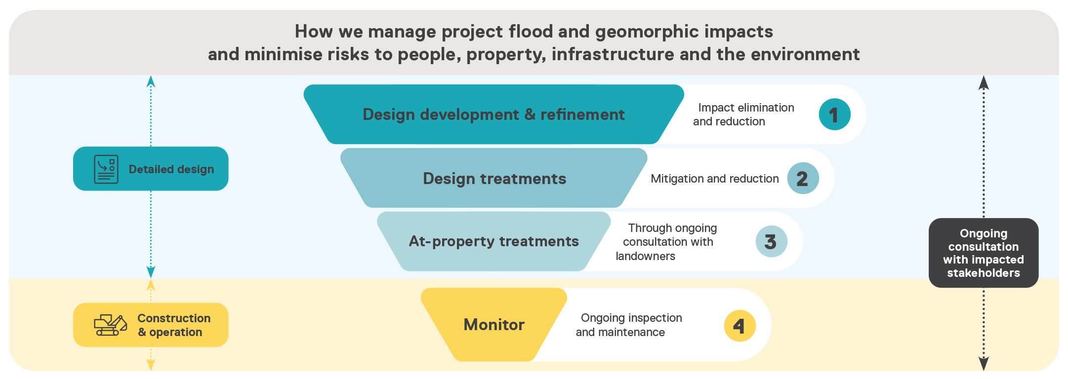
We are developing effective mitigation measures to address potential flooding impacts identified in our models. The specific mitigation measures will be determined in consultation with affected landowners during the detailed design phase.
How will design initiatives mitigate and minimise flood impacts?
The NSW/Qld Border to Gowrie section is designed to minimise change to overland flow and surrounding hydrological profiles attributable to the section, and reduce impacts to vegetation, watercourses and floodplains.
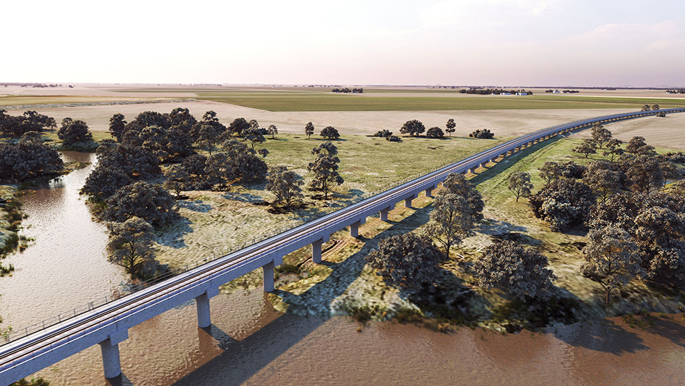
The revised reference design includes more than 3,000 culverts and approximately 11km of viaducts and bridge structures to maintain existing water flow paths.
Through design and construction, there will be a focus on maintaining flow paths and minimising impacts to people, property, infrastructure and the environment.
We will consult with landowners and specialists to ensure we minimise changes to hydrological conditions because of the Project. We will be working closely with landowners to ensure property-specific detail is understood and considered to inform preferred design solutions.
We will implement a flood and geomorphic impacts mitigation framework and further design treatments to eliminate, reduce and address potential flood impacts.
Further flooding mitigation measures will be included in future design and construction development to address remaining flooding and geomorphology impacts.
The specific mitigation measures will mostly be design-based solutions such as additional culverts, bridges and scour, aimed at further eliminating and reducing impacts.
To address concerns about the dispersive nature of soils in the project area, the cross-drainage design will minimise impacts on surrounding drainage and flow paths, preventing avoidable erosion, siltation, and watercourse instability.
Scour and erosion protection measures will be implemented around culvert headwalls, drainage discharge pathways, and bridge abutments.
We will continue working with landowners and councils to gather local flood event data and refine our modelling and detailed designs to ensure we deliver safe and resilient Inland Rail infrastructure.
Flood map portal
Flood mapping has been prepared to show flooding scenarios and flood events.
Our flood map portal provides flood modelling results for the Inland Rail Border to Gowrie project’s revised draft Environmental Impact Statement (EIS).
You can view the following modelling scenarios and change categories:
- Existing Case maps to illustrate the current flood risk situation
- Developed Case maps to illustrate the flood risk situation for when Inland Rail is built
- Change mapping to illustrate the expected change in flood risk because of Inland Rail
- Change mapping in accordance with the project’s flood impact objectives.

Crossing the Condamine floodplain
Since the release of the Condamine floodplain model and proposed crossing design in late 2018, we have consulted with landowners and stakeholders to update the flood model and crossing design.
Condamine Flood Model
The flood model has been expanded to include additional local flow paths within the Back Creek catchment and has been validated against the 2013 flood event.
Since 2018, we have:
- conducted further tests to determine how inflows from local creeks may impact water levels and velocities in a rare flood event
- improved our flood frequency analysis using additional data from the Warwick and Cecil Weir stream gauges
- gathered anecdotal data of historic flood events prior to 1921.
While this work has improved our understanding, importantly it has not resulted in any significant changes to the overall floodplain model or required us to make considerable updates to the crossing design.

Crossing design
Local community feedback has informed the proposed Condamine floodplain crossing design, which remains within the existing rail corridor. It includes:
- improved drainage design and scour protection measures, particularly in high-risk areas to minimise avoidable erosion, siltation or damage to neighbouring property
- 6km of bridges, scour protection and 600 culverts incorporated into the Condamine River floodplain design
- the proposed bridge over the North Branch (Condamine River) was extended by approximately 250m north in response to community feedback and to further increase flood conveyance
- the Yandilla rail bridge was moved further south and combined with the Grasstree Creek bridge to reduce environmental impacts and further increase flood conveyance
- the number of proposed culverts near the Yandilla grain silos was increased to ensure the drainage channel to the south of the silos has sufficient capacity to convey flood water.
The proposed design for the Condamine floodplain crossing is subject to assessment as part of the NSW/Qld Border to Gowrie section’s revised draft Environmental Impact Statement process and may change because of conditions of approval, further investigations, or detailed design.
You can also download this information as a PDF Fact Sheet.
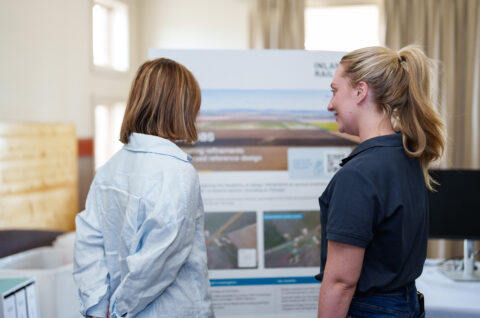
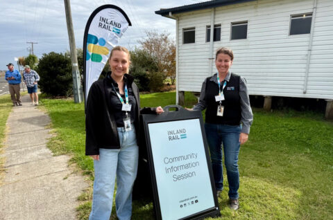
Talk to the Inland Rail team
If you would like to contact Inland Rail’s NSW/Qld Border to Gowrie team, you can either call, send an email or visit one of our offices. We also hold regular events across the region, and you’re welcome to subscribe to our enewsletter.
| Phone | 1800 732 761 during business hours or leave a message and we'll get back to you. |
| inlandrailqld@inlandrail.com.au | |
| Inland Rail Pty Ltd, PO Box 3093, Toowoomba, QLD 4350 | |
| Visit us at these locations: | |
| Toowoomba | 143-145 Margaret Street, Monday to Friday, 8.30am-4.30pm |
| Goondiwindi | 28 Marshall Street, Monday, Wednesday, Friday, 10am-2pm |
Alternatively, you can fill out the below form, and request a team member to contact you:
"*" indicates required fields